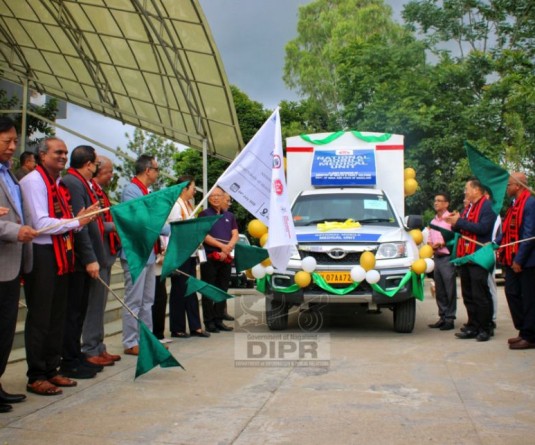
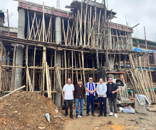
Y Kikheto Sema along with other officials during a visit to the NGISRSC in Kohima on July 23. (DIPR Photo)
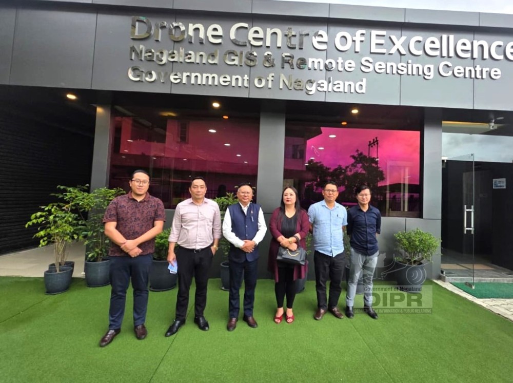
Kohima, July 24 (MExN): Nagaland Principal Secretary and Development Commissioner Y Kikheto Sema on Thursday urged state government departments to make greater use of the expertise and infrastructure available at the Nagaland GIS and Remote Sensing Centre (NGISRSC) instead of relying extensively on external agencies for implementing central and state-sponsored programmes.
During a visit to the NGISRSC on July 23, Sema interacted with officers and staff and lauded the Centre for developing an extensive geospatial database and technical expertise that have contributed to informed decision-making and sustainable development in the state.
He also proposed a comprehensive assessment of Nagaland's solar power generation potential integrated with the existing and proposed power grid network to facilitate efficient and sustainable energy planning.
Commending the facilities at the Drone Centre of Excellence, Sema said the drone sector offered significant employment and entrepreneurship opportunities. He urged the Centre to expand skill development programmes to create opportunities for Nagaland's youth as remote pilots, drone technicians, geospatial survey professionals, instructors and entrepreneurs.
He also stressed the need to promote research, innovation, indigenous drone design and in-house manufacturing to develop drone systems suited to Nagaland's terrain and operational requirements. Such initiatives, he said, would strengthen technological self-reliance and help position the state as a regional hub for drone technology, training, innovation and services.
Senior Project Director Er Mhathung Kithan briefed the Development Commissioner on the Centre's mandate, achievements and role in evidence-based planning and sustainable development through geospatial technologies.
He highlighted key initiatives undertaken by the Centre, including statewide village resource mapping, hydropower potential assessment, urban mapping down to building footprints, landslide hazard zonation, aquatic resource mapping, traffic studies and other thematic geospatial projects.
Officials also briefed Sema on the activities of the Drone Centre of Excellence-Drone School, which has conducted training programmes in FPV drone operations, drone repair and maintenance, drone GIS mapping and drone cinematography.
They said 58 personnel have been trained so far, while Directorate General of Civil Aviation (DGCA)-certified drone training courses are scheduled to begin in August 2026.
During the visit, Sema toured the Centre's training facilities, drone assembly laboratory, prototyping unit, and repair and maintenance laboratory. He was also briefed on the complete lifecycle of drone development and operations, including design, assembly, testing, deployment, servicing and maintenance.