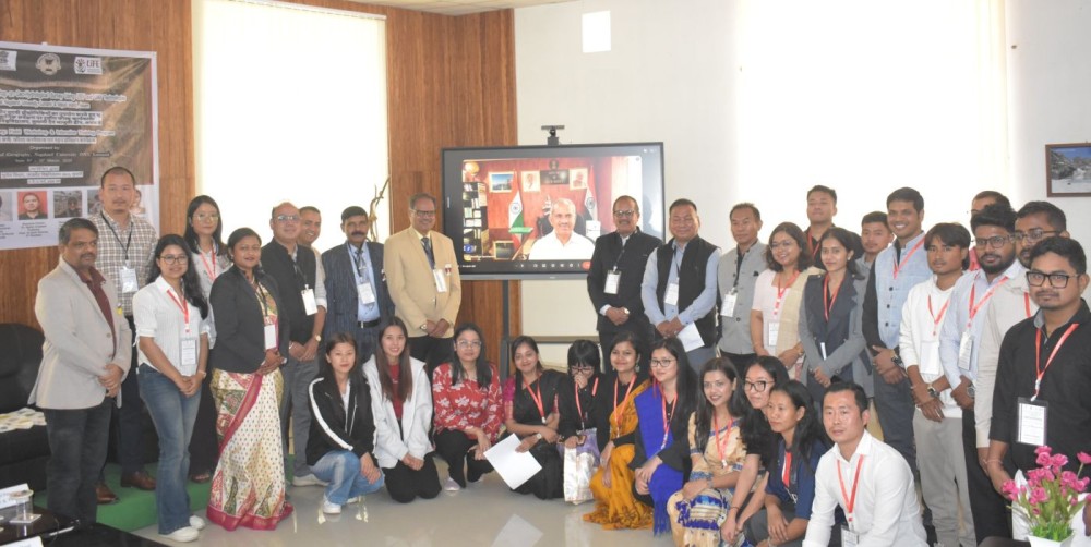
Officials along with the participants during the commencement of the national-level workshop on modern geo-hydrological survey held at Nagaland University (NU) on March 11.
Lumami, March 12 (MExN): A three-day national-level workshop on modern geo-hydrological survey using integrated Unmanned Surface Vehicle (USV) and Unmanned Aerial Vehicle (UAV) technologies began at Nagaland University on Wednesday, aiming to enhance the accuracy and efficiency of mapping lakes, rivers and reservoirs.
The workshop, organised by the Department of Geography from March 11 to 13, focuses on innovative survey techniques that integrate aerial and surface-based unmanned systems for improved hydrological mapping and research.
Delivering the welcome address, Prof Virendra Kumar, Head of the Department of Geography, highlighted the growing importance of geospatial technology in modern geographical research. The programme also featured a traditional song presented by research scholar Tiajungla T Jamir.
Introducing the workshop, organising secretary Dr Manasi Debnath explained that integrating UAV and USV technologies enables researchers to simultaneously collect surface and underwater data, which is particularly useful for disaster risk reduction in fragile mountainous regions.
She also highlighted the Glacier and Mountain Research Lab (GLAMR) established in the department, which is being equipped with advanced UAV and USV technologies to support geohydrological research.
Vice-Chancellor of Nagaland University Prof Jagadish Kumar Patnaik congratulated the department for organising the programme. He said the department has maintained its academic legacy while securing external funding to initiate several innovative research projects. Patnaik encouraged the department to develop more collaborative research initiatives under the Ministry of Earth Sciences and expressed hope that the workshop would contribute to academic development as well as informed policy-making.
Chief Guest Dr M Ravichandran, Secretary, Ministry of Earth Sciences, Government of India, emphasised the symbiotic relationship among Earth’s spheres and said such workshops play an important role in translating scientific advancement for societal benefit.
He noted that traditional hydrological survey methods are time-consuming and that modern technologies and data analysis are increasingly essential for flood risk management, dam safety and sediment studies. Ravichandran also assured support to Nagaland University in facilitating research funding and scientific programmes addressing local issues, stating that solutions to regional challenges could contribute to future global solutions.
The first academic session featured a lecture by Prof Ajanta Goswami on “Glacier Dynamics, Mass Balance and Ice Water,” where she discussed hydrodynamic modelling approaches used in glacial studies. She emphasised the importance of research on Glacial Lake Outburst Floods (GLOFs) in the Himalayas, noting that 3,151 GLOF events have been documented globally, including 569 in the Himalayan region. She added that the eastern Himalayas, particularly Sikkim, are considered highly vulnerable to such events and highlighted the differences between GLOFs and other hazards such as landslides and earthquakes, advocating stronger policy measures for mitigation.
Dr Pritam Chand delivered a lecture on “UAVs in Geoscience: Precision Mapping, Environmental Assessment, and Spatial Insights,” highlighting the growing role of UAVs as practical tools for acquiring high-resolution spatial data and monitoring complex terrain at relatively low cost.
He noted that UAVs are particularly useful in high-altitude Himalayan settings for generating centimetre-scale orthomosaics and high-resolution digital surface models. Using Real-Time Kinematic (RTK) systems with cross-grid acquisition significantly improves accuracy for 3D mapping, he said, adding that recent advancements also allow UAVs to estimate biomass, which can support carbon credit calculations from local to regional scales.
Other sessions included presentations by Dr Luma Moni Das, Assistant Professor at NERIWALM, Tezpur, on hydrological and hydraulic models for assessing flood risk, and Dr Anugya Shukla on the use of UAV-based data for hydrological modelling and research.
Participants from Uttarakhand, Odisha, West Bengal, Assam and Nagaland attended the programme on March 11. The workshop will conclude with a field-based intensive training programme at Majuli island in Assam over the next two days, providing hands-on experience for young researchers and helping build expertise in advanced earth-science research for disaster risk reduction and sustainable development in fragile mountainous regions.